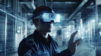
Embark on a transformative journey as we redefine precision and efficiency across Oil & Gas, Mining & Quarries, Construction, Agriculture, and Archaeology. 3DSPC, a cutting-edge platform harnessing LiDAR and Remote Sensing data, unleashes hidden potential, providing actionable insights and minimizing risks. Say farewell to data complexity and welcome a future where innovation knows no bounds.
3DSPC is more than a tool; it’s the key to unlocking your industry’s full potential. Experience precision, embrace change, and elevate your projects with 3DSPC – where every data point narrates a story of progress. Ready to start your transformative journey? Begin with 3DSPC today!
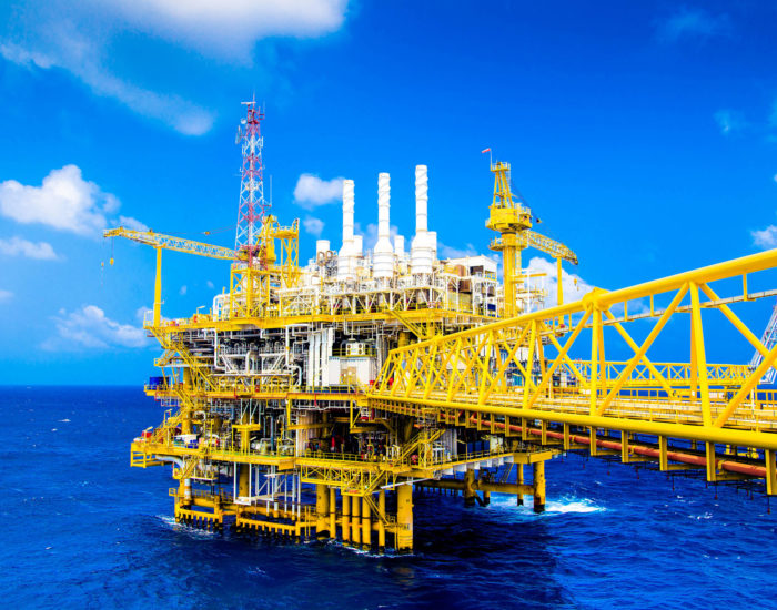
3DSPC for Oil & Gas
In recent decades, LiDAR and Remote Sensing data have met many needs in the oil and gas and exploration industries, ranging from precise X, Y, Z solutions in severe terrain and canopied areas for extraction to access road and pipeline design for the development of various regions, therefore, the industry is in dire need of using LiDar and Remote Sensing due to the scope of work, complexity of structures, and the need for high accuracy. Since the data obtained is mainly large Image and Pointcloud files, we need a comprehensive tool that can manage, display and share this data, so that the data is available anywhere and anytime, without the need to install special software to display them, and even to be able to display them via mobile and tablet.
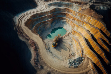
3DSPC For Mining & Quarries
In mines, LiDAR and Remote Sensing data are used to calculate ore and periodic scans of the area, and by comparing it with previous data, the volume difference can be extracted, and Through utilizing LiDAR a 3D map of the mining tunnels is obtained, which is used for measuring and placing the 3D models. Due to the very high volume of data, proper data storage management is required, and the right tool for calculating the slope and volume of Pointcloud can provide very accurate calculations at the lowest cost.
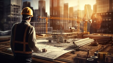
3DSPC FOR CONSTRUCTION
LiDAR and Remote Sensing data in construction projects enable a quick mapping at the beginning of the project and provide information for analysis during project development, identifying any maintenance requirements.
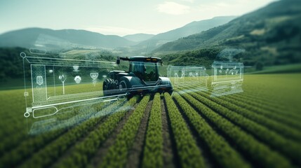
3DSPC FOR AGRICULTURE
LiDAR and Remote Sensing data can be used to create 3D digital models of a farm, creating interesting maps of natural resources. For example, to draw water flow, to define catchments, to locate all the trees in a garden, to show the direction of water flow along each tree, we all know that farms are not uniform. There is natural variability in soil, moisture content, and climatic conditions due to landscape features. LIDAR allows us to observe, measure, and plot changes in slope, aspect, and height.
3DSPC FOR Archaeology
Using LiDAR and Remote Sensing helps archaeologists have an accurate and measurable map of the site, also have a 3D model of the site as well as get a clear map of structures and objects that have not been seen before at the site, due to accuracy this type of data can be of great help in the restoration of antiquities.